Services provided
Surface Mineral Mapping
Mapping mineralogy, pixel by pixel.
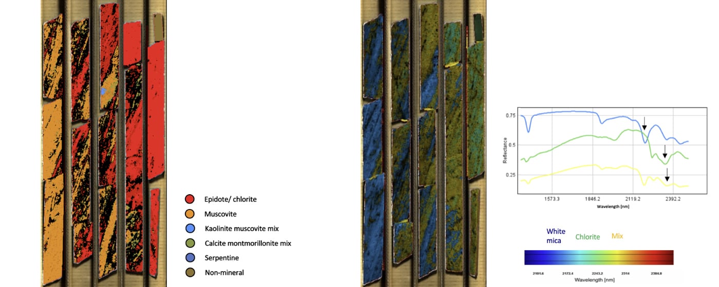
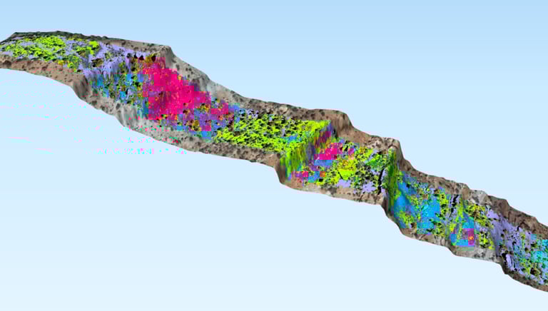
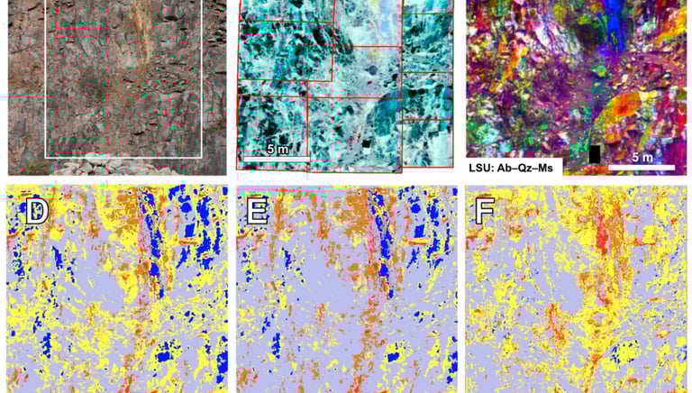
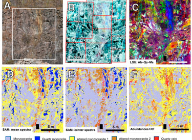
Spectropy’s surface mineral mapping services provide centimeter-scale compositional maps of exposed rock and soil surfaces. Using drone-mounted or field-portable hyperspectral sensors, we generate high-resolution mineralogical datasets that reveal subtle variations across mining leases and pits.
Mineral Exploration
Spectropy is an AI/ML platform fusing hyperspectral satellite imagery, hyperspectral drill-core analysis, and geophysical data (magnetic, gravity, radiometric, EM) via spectral unmixing and deep learning trained on Indian terrains, pinpointing high-probability mineral zones and taking exploration from surface to drill bit in one model.
Mining Automation
Mining automation services span IoT-based dumper trip recording and payload monitoring for haul trucks, AI-driven blast hole drilling analytics for real-time grade control, and hyperspectral-based ore quality prediction on conveyors, integrating edge sensors, GNSS, CAN bus data, and machine learning to enable safer, data-driven, real-time decision-making in opencast mining operations.


Real Time Borehole Scanning
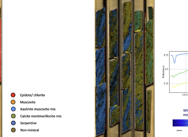
Real-time borehole scanning uses hyperspectral sensors to continuously capture mineralogical and spectral data as drilling progresses, identifying ore-grade zones, alteration patterns, and lithology changes instantly. This enables on-the-spot grade control and faster geological decision-making, replacing delayed lab-based core analysis with immediate, in-situ spectral insights during the drilling process itself.